Home / Weather warnings / Weather alert
Tropical storm Odalys in the eastern Pacific
According to the NOAA National Hurricane Center: Tropical storm Odalys with winds of 35 knots and a central pressure of 1005 hPa, position 11.4° N, 124.5° W. As of 20 Sep 2026, 09:00 UTC.
Severe NAMMERT Assekuradeur GmbH
This alert reproduces an official warning as it stood when we published it and is not updated afterwards. The issuing service is authoritative. For what applies now, see the warning map.
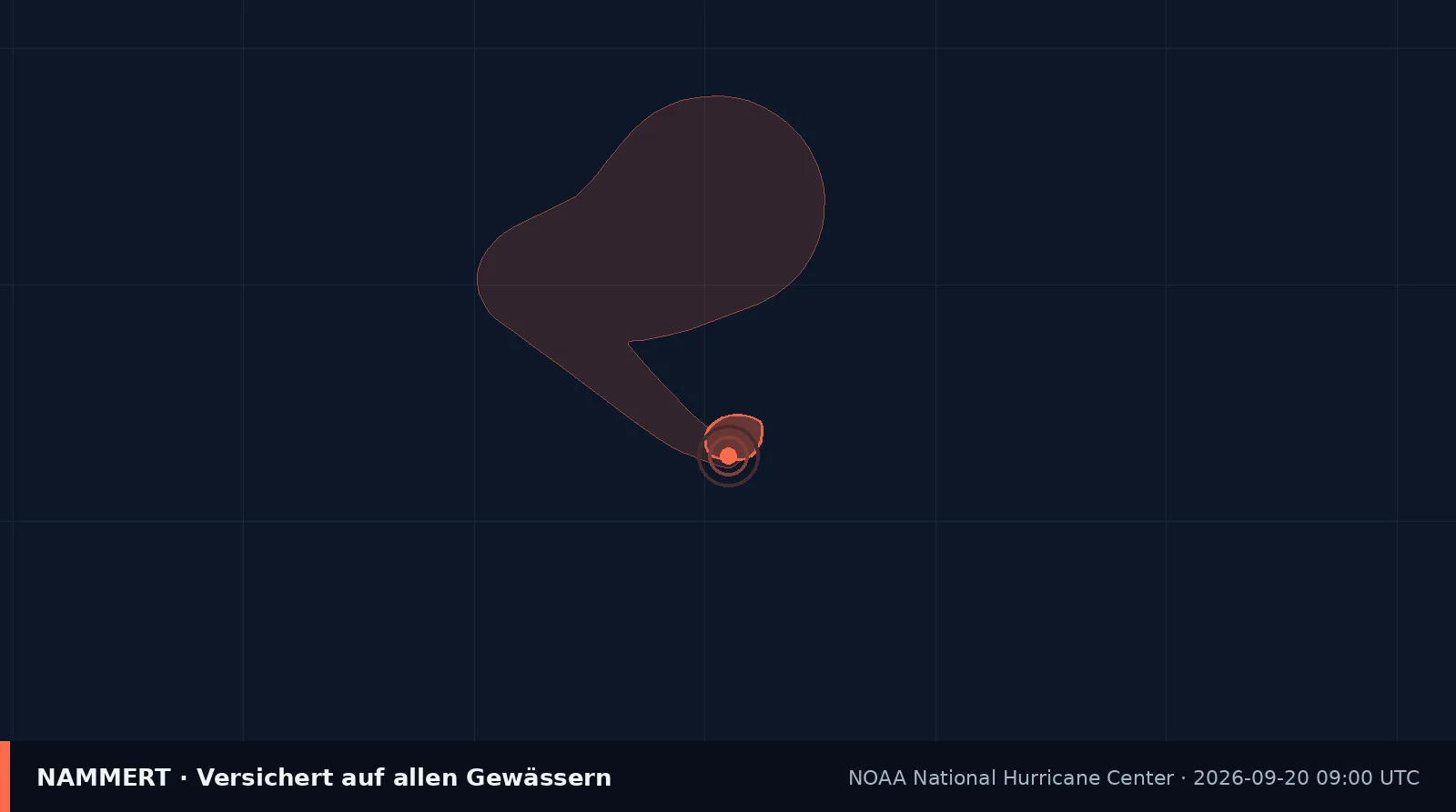
- Classification
- Tropical storm Odalys
- Wind
- 35 kn
- Central pressure
- 1005 hPa
- Position
- 11.4° N, 124.5° W
- Movement
- Heading 305 degrees at 8 knots
- As of
- 20 Sep 2026, 09:00 UTC
- Region
- eastern Pacific
- Issued by
- NOAA National Hurricane Center
What matters now
If your boat lies somewhere it can get serious, you act on the plan you made earlier, not on this page. If you have no plan, today is the day to make one.
Doubled lines, chafe protection, fenders, canvas off: half an hour of work that often decides everything. Once it starts there is no time left for it.
Photograph the boat, the lines and the surroundings before anything happens. After a storm that is the only evidence of how it looked before.
Read what your own contract says about storms and about the hurricane season. Many contracts carry their own rules for it.
When it comes to it, the instruction of the local authority and the marina applies, not what a website says.