Magazine / Magazine: Policy and market
GPS jamming in the Baltic: what matters after a grounding
Finland and Estonia warn of disrupted satellite signals in the Gulf of Finland. The policy wording does not change, but the questions after a grounding do.
30 October 20267 min readNAMMERT Assekuradeur GmbH
GPS jamming in the Baltic is no longer dock talk. At the general assembly of the European Boating Association in Hamburg on 2 and 3 October 2026, a delegate from the Finnish federation reported jamming and spoofing that distort navigation and position reports on recreational craft as well. For anyone taking a sailing yacht or motor yacht to Sweden, Finland or the Baltic states, that raises a practical question: what matters after a grounding, if the plotter showed the wrong position and the boat went aground or touched another vessel because of it?
Two terms are worth keeping apart. Jamming blocks or degrades the satellite signal, so the receiver shows no position or a poor one. Spoofing presents a false position that may look entirely plausible. That is how the UK Maritime and Coastguard Agency defines them in MGN 719, published on 1 October 2026; the guidance is written for commercial shipping and names the Baltic among the regions with increased reports. In June 2025 Finland and Estonia issued a joint navigational warning for their waters in the Gulf of Finland, and the Finnish transport agency Traficom said the disruption could cause autopilot malfunctions and had already led to near misses, while AIS spoofing had become more common.
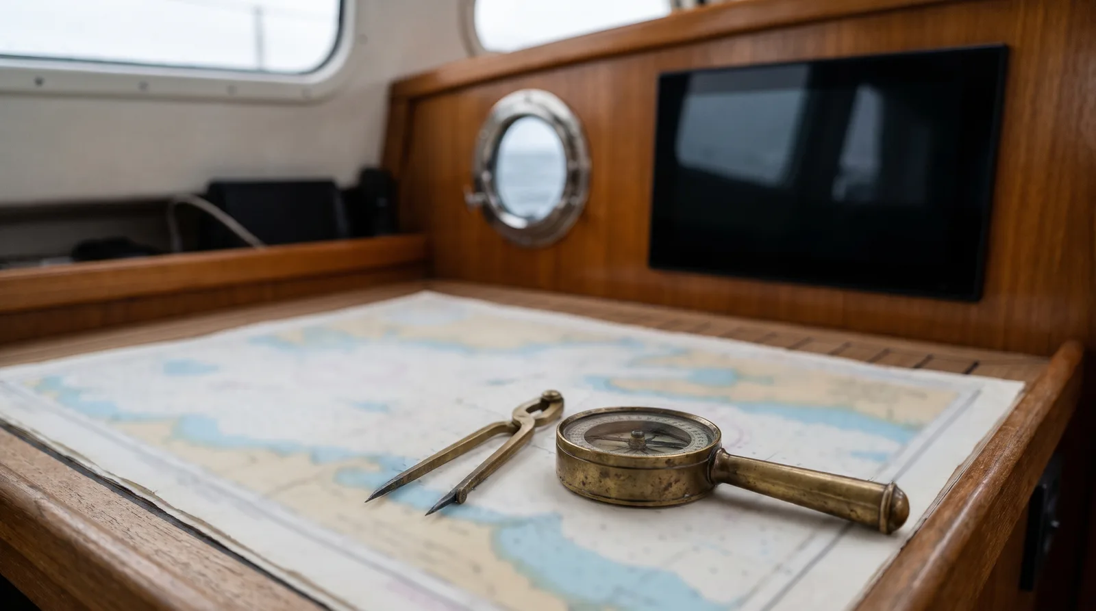
For leisure boaters Traficom is blunter still. Under the Finnish Water Traffic Act, it says, a plotter is not a primary navigation tool. The skipper must know where the boat is at all times and, on longer passages or in unfamiliar waters, carry nautical charts and be able to use them. Interference is more likely at sea than inland, especially in the eastern Gulf of Finland, and Traficom asks boaters to report it through an online form, from the boat or after reaching shore. For the German Baltic coast the sources cited here contain no warning aimed at leisure craft. That does not mean there is no interference there, only that we cannot document any.
What does it mean in a contract? Most hull wordings never mention GPS, plotters or paper charts, and the German wordings we work with are no exception. So no clause is triggered by a jammed signal, and none prescribes a particular device. What decides is the event. The first thing to check is whether the hull policy includes accidents such as stranding, grounding and collision with fixed or floating objects at all. Some basic covers in Germany are written as named perils, for example storm from Beaufort 8, fire and theft of the whole boat, and a grounding in calm weather is simply not an insured event under them, with or without interference.
The second question is fault. Under section 81 of the German Insurance Contract Act (VVG), an insurer may reduce payment in proportion to the severity of fault if the loss was caused by gross negligence. Some wordings waive that reduction up to a share of the sum insured, with exceptions such as theft, drugs or alcohol, and that threshold is worth looking for in the policy. Whether relying on the plotter alone in an area with known interference counts as gross negligence is decided case by case, and nobody can promise the answer in advance. A position cross-checked with compass, bearings, depth sounder and chart, and written in the log, is the strongest thing a skipper can show afterwards.
If the boat hits another yacht, a buoy or a pontoon, that is a matter for third party liability insurance rather than hull cover, which normally excludes claims by third parties. A typical liability wording examines whether you are liable, defends unjustified claims and indemnifies justified ones. After any loss, most hull policies require prompt notification, reasonable steps to limit the damage and complete, truthful answers to the insurer's questions. The question of how the boat was navigated will come. Evidence that cannot be recreated later helps: a photo of the plotter showing the jumping position, the saved track, the time, and your own report to the authority.
Most exposed are sailing yachts and motor yachts cruising the eastern Baltic, charter yachts in Sweden and Finland where the skipper does not know the electronics on board, and any boat steered by an autopilot that follows the plotter. Before the next Baltic passage two checks are worth the time: whether the hull policy includes accidents, and whether the navigation area covers the planned route. Both can be changed before casting off, neither after the grounding.
Worth checking
Common questions
Is a grounding caused by a false GPS position covered?
That depends on the hull policy. Wordings that include accidents usually name grounding and stranding explicitly, regardless of whether a person or a device made the error. Named-perils covers that only list storm, fire and theft do not respond to a grounding in calm weather.
Is it gross negligence to navigate by plotter alone?
That is decided case by case and cannot be promised either way in advance. A skipper who cross-checks the position with compass, bearings and chart in an area with known interference, and logs it, can show after a loss that the boat was navigated with care.
Should I report GPS interference to my insurer?
Report the loss to your insurer promptly, not the interference itself. The interference belongs with the authority of the country you are sailing in; Traficom explicitly asks boaters to report radio interference in Finnish waters, even after reaching shore.
Related
